
Past Projects
The Greater Kanawha Valley Foundation’s Community-Level Indicators Report
Partnered with the Greater Kanawha Valley Foundation to produce a community indicators report spanning six West Virginia counties, turning complex demographic and community data into a clear picture of regional strengths and opportunities.
For this project, we used
Data, mapping, and visualization
Planning and strategy
The Greater Kanawha Valley Foundation’s Building Bridges Leadership Institute, Reflections and Impact
We partnered with the Greater Kanawha Valley Foundation to assess the Building Bridges Leadership Institute, helping leadership better understand program outcomes and chart a path forward.
For this project, we used
Data, Mapping, & Visualization
Planning & Strategy

We helped Paul’s Best, located in the DC metro area, understand the demographics of current customers and use that information to identify neighborhoods of opportunity in order to scale up operations and grow.
For this project, we used
Data & Evaluation Services
Mapping & Visualization
Business Market Analysis & Support
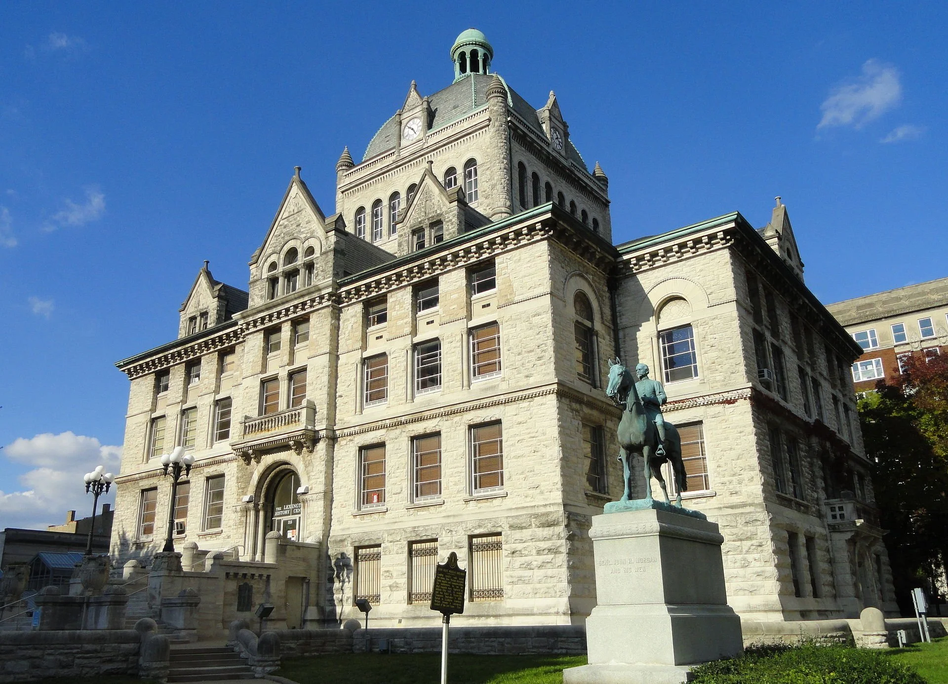
Car Real Estate Holdings
We analyzed the neighborhoods around existing holdings in Lexington, Kentucky. We mapped crime and demographics against earnings to chart a path forward for the owners.
For this project, we used
Data & Evaluation Services
Mapping & Visualization
Business Market Analysis & Support
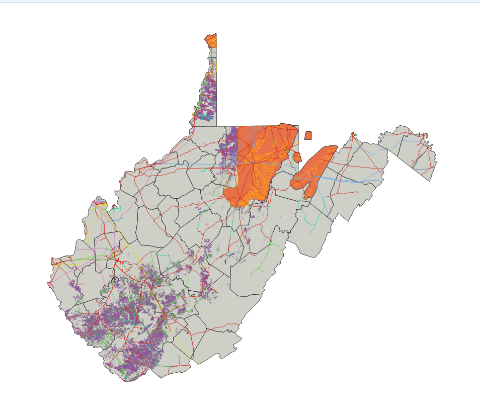
Harvard Business School Project
Collaborated with Harvard Business School students on a real-world site selection analysis, providing geospatial and data expertise to support new construction planning.
For this project, we used
Data & Evaluation Services
Mapping & Visualization
Business Market Analysis & Support